UN
43 Ken Mews
£ 112,000
Description
We don't have a Description for this property.
- Bedrooms
- 2
- Bathrooms
- 0
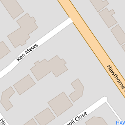
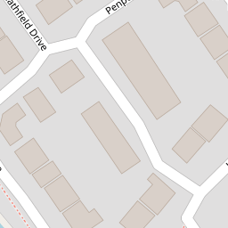
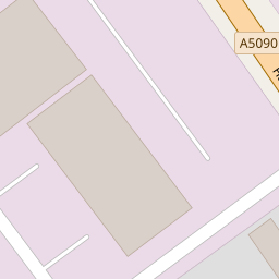
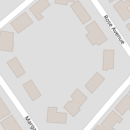
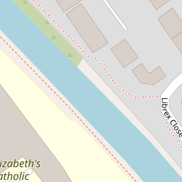

Leaflet © OpenStreetMap contributors
The heatmap indicates the level of crime in the area. The color of the heatmap indicates the crime severity and recency.
Metrics Year-on-Year
- Average area value
- 207,988.00 £Increased by 43.60 %
- Average area rental value
- 804.00 £/moIncreased by 16.86 %
- Est rental Yield
- 4.64 %Decreased by 18.60 %
- Crime Rate
- 2.00 %Unchanged by 0.00 %
from 144,838.00 £
from 688.00 £/mo
from 5.70 %
from 2.00 %
Nearby Schools
| Name | Type | Ofsted | Distance |
|---|---|---|---|
| St Elizabeth'S Catholic Primary School | Voluntary Aided School | Good | 0.20 KM |
| Lander Road Primary School | Community School | Good | 0.36 KM |
| Linacre Primary School | Community School | Requires improvement | 0.63 KM |
| St Philip'S Church Of England Controlled Primary School | Voluntary Controlled School | Good | 0.71 KM |
| Greenacre Community Nursery School | Local Authority Nursery School | Good | 0.76 KM |
Images
Nearby Streets
| Name | Average Price | Average Sqft | Distance |
|---|---|---|---|
| Selsey Road | £ 0 | 0 | 0.00 KM |
| Wood Street | £ 145,000 | 0 | 0.00 KM |
| Moss Lane | £ 165,000 | 0 | 0.00 KM |
| Oxford Avenue | £ 0 | 0 | 0.00 KM |
| Chesnut Grove | £ 164,950 | 0 | 0.00 KM |
Nearby Transport
| Name | NLC | TLC | Distance |
|---|---|---|---|
| Bootle New Strand | 2195 | BNW | 1.31 KM |
| Seaforth And Litherland | 2250 | SFL | 1.50 KM |
| Bootle Oriel Road | 2239 | BOT | 2.07 KM |
| Kirkdale | 2245 | KKD | 2.93 KM |
| Walton (Merseyside) | 2251 | WAO | 3.08 KM |
Nearby Listings
| Address | Price | Type | Score | Distance |
|---|---|---|---|---|
| Hawthorne Road, Bootle, Merseyside, L20 | £ 125,000 | BUY | Unknown | 0.10 KM |
| Librex Close, Bootle | £ 220,000 | BUY | 6 / 10 | 0.12 KM |
| Margaret Avenue, Litherland, Merseyside, L20 | £ 170,000 | BUY | 6 / 10 | 0.14 KM |
| Melville Road, Bootle | £ 220,000 | BUY | 7 / 10 | 0.30 KM |
| Melville Road, Litherland, Merseyside, L20 | £ 180,000 | BUY | Unknown | 0.32 KM |
Nearby Properties
| Address | Price | Distance |
|---|---|---|
| 44 Ken Mews | £ 122,000 | 0.00 KM |
| 43 Ken Mews | £ 112,000 | 0.00 KM |
| 183 Hawthorne Road | £ 110,000 | 0.09 KM |
| 207 Hawthorne Road | £ 67,000 | 0.09 KM |
| 177 Hawthorne Road | £ 86,000 | 0.09 KM |